
全球1:100万基础地理数据
Geographic Information System (GIS) Basic Data of the Global
基础GIS数据
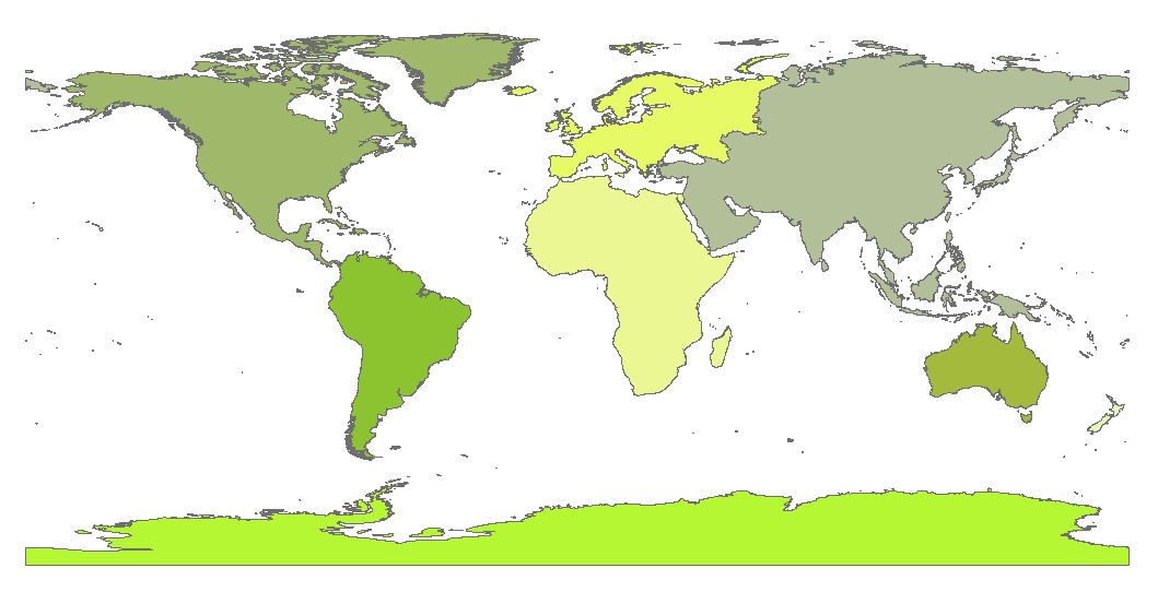
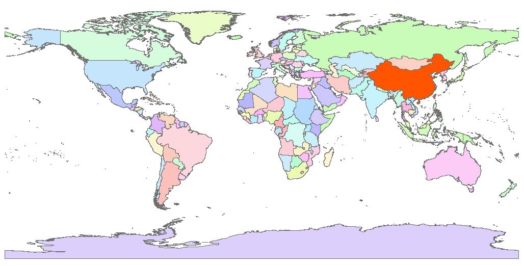
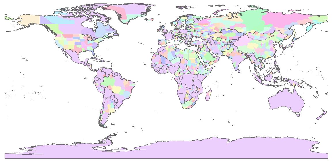
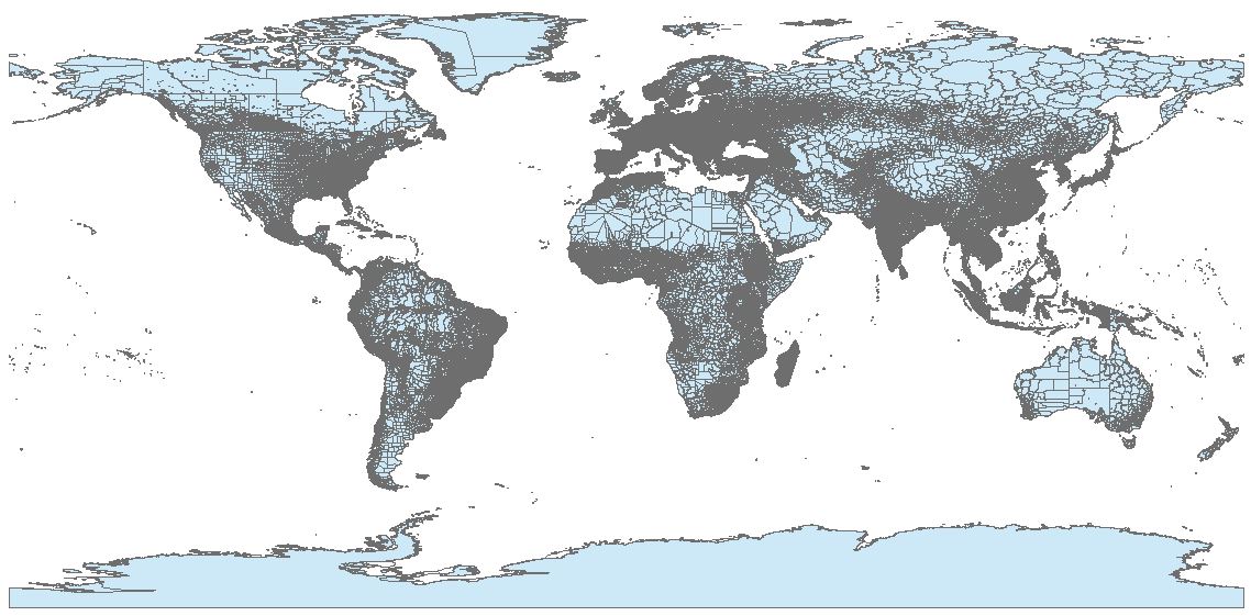
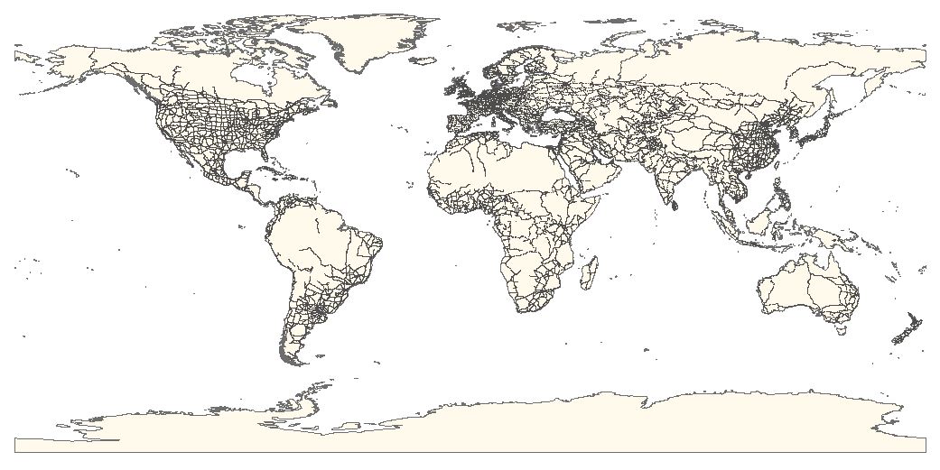
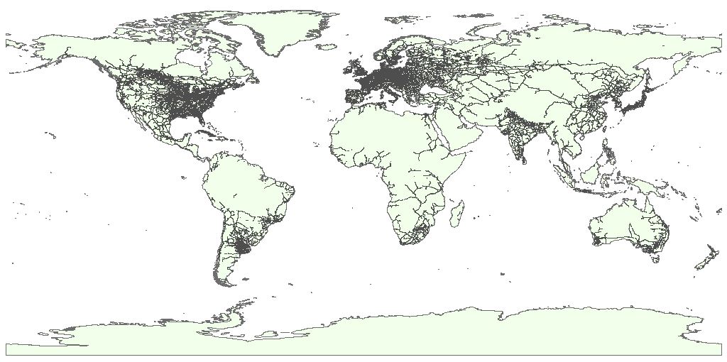
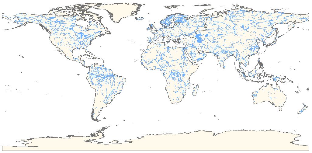
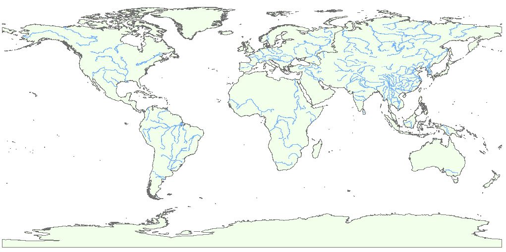
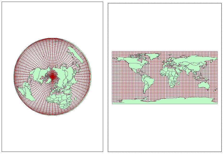
全球1:100万基础地理数据,包括七大洲范围、全球国家边界、全球省级行政边界、全球主要道路、全球铁路、全球面状水系、全球线状水系以及1度经纬网等矢量数据。
空间范围:全球
数据类型:矢量 | ESRI Shapefile
数据比例尺:1:100万
投影坐标:GCS_WGS_1984
生产时间:2018年
如果要下载全国基础地理数据,可以访问全国基础地理数据 (点击进入)
数据下载
基础GIS数据列表
使用数据时需要注意,数据默认投影坐标为WGS84,若出现投影未定义情况时,可定义为WGS84坐标
如果遇到任何数据问题,如坐标不匹配、文件损坏等,请在下方评论区留言,我将及时更新,十分感谢您的支持~
建议使用Google浏览器,IE内核浏览器可能不正常显示下载按钮等!
Fighting, GISer!
最新博文